
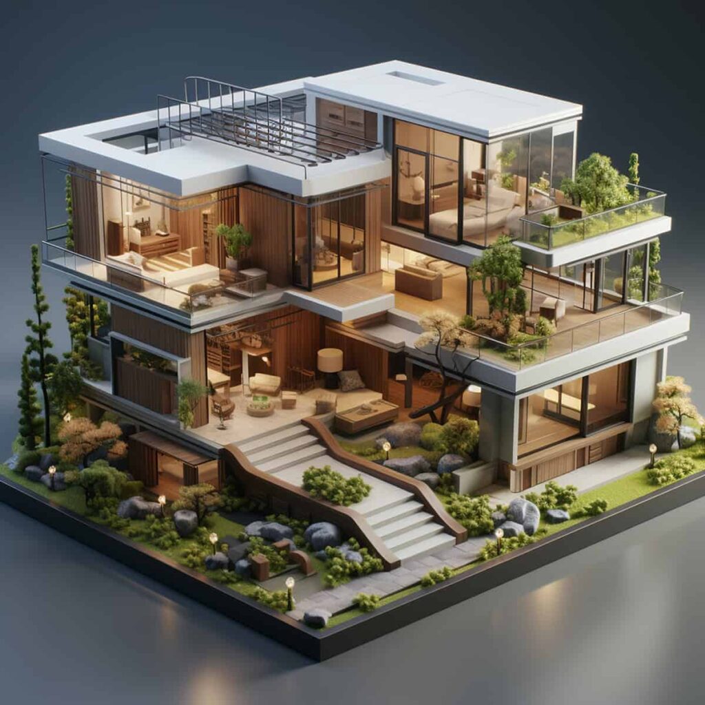
3D Laser Scanning turns a real building into a high-fidelity digital twin. With millions of points (a point cloud) we capture geometry, slopes, deviations, and details that traditional tape or total-station surveys often miss. Combined with BIM modelling, design teams (architecture, structural, MEP), permits, and renovations move faster, safer, and with fewer surprises on site.
Service areas: We support projects throughout Greece – including Athens, the Southern Suburbs, and Moschato – with an experienced team of licensed civil engineers.
What 3D Laser Scanning Is – and How It Works
During scanning, the instrument emits laser beams, measures returns, and builds a dense point cloud that represents the real geometry with millimetre- to centimetre-level accuracy. Multiple scan stations are performed to “stitch” the entire space – even complex layouts or partially visible surfaces.
The key advantage is that no information is lost: back at the office you can “measure” whatever you forgot on site – without another visit.
From Point Cloud to BIM – What You Actually Receive
The point cloud is the raw truth. On top of it, we create a BIM model (walls, slabs, columns, beams, openings, etc.) and produce clean deliverables for design and permits.
Typical deliverables include:
- Point cloud (E57/PTS/LAZ).
- Orthophotos for plans/elevations/sections.
- 2D drawings (DWG/DXF/PDF): plans, elevations, sections, details.
- BIM model (IFC/RVT, others) at an agreed Level of Detail.
- Deviation/flatness reports (e.g., out-of-plumb columns, slab deflections).
- Short technical note: methodology, datums/CRS, guidance for safe use of the data.
Clear briefing on formats, LOD, and coordinate system keeps iterations to a minimum.
When It Pays Off (and Why)
3D scanning is especially cost-effective when:
- You need as-built capture before renovation, change of use, or permits.
- Geometries are complex (curves, irregular stairs, vaults).
- You plan a structural assessment/strengthening or significant MEP re-routing.
- You want clash detection between architectural, structural, and MEP.
- You need quantities with confidence (areas, volumes, openings) for pricing.
Bottom line: fewer assumptions → fewer redesigns → fewer site issues.
Workflow, Step by Step (How-To)
A disciplined workflow ensures quality and predictability.
1) Brief: goals & specs
We define the spaces/levels, requested deliverables (formats, LOD), whether georeferencing is required, and any access/time restrictions.
2) Field planning & safety
We plan station positions to remove “blind spots”, coordinate access windows, signage, and temporary clearance of obstacles.
3) Scanning
We capture overlapping scans for robust alignment. Where helpful, we use targets/spheres for better registration.
4) Registration & clean-up
Scans are registered into a unified cloud, noise is cleaned, and alignment errors are checked. If requested, we perform georeferencing (e.g., UTM/GGRS87).
5) BIM modelling
We model architectural/structural elements to the agreed LOD and generate plans/sections/elevations—or export IFC for interoperability.
6) QC/QA & reporting
We run quality checks (local deviations, gaps, “clean” cut planes) and compile a technical note with usage guidance.
7) Handover & onboarding
We deliver files plus a lightweight viewer where useful, and give a short walkthrough so designers/contractors can use the data immediately.
Accuracy & Data Quality: What to Expect
Final accuracy depends on scanner type, ambient conditions, distance, scan density, registration, and georeferencing. For most building projects, we achieve high accuracy suitable for design.
The important bit is to agree acceptance tolerances up front (e.g., needs for reinforcement-level detail vs. architectural as-builts) and accompany the data with a clear technical note.
How It Supports Structural Design & Strengthening
For existing buildings, the point cloud reduces guesswork on sections, slopes, eccentricities, and highlights areas with deformations. Combined with NDT (rebound, ultrasonic, GPR) and the relevant standards (e.g., EC8-3 for existing structures), it improves the reliability of checks and the targeting of strengthening (FRP, RC jacketing, steel solutions).
Time & Cost Drivers
There isn’t a single price for all cases. Time/cost depend on:
- Size & complexity (many levels/rooms, dense furniture/obstacles).
- Access (opening hours, occupied spaces).
- Deliverable scope (cloud only vs. BIM + 2D set).
- Georeferencing & accuracy (millimetre tolerances vs. general survey).
A sensible approach is to define phases (scan → quick cloud → BIM → 2D) so the budget stays in control.
Common Pitfalls (and How We Avoid Them)
- Blind spots/occlusions: solved with proper station planning and extra captures.
- Reflective/dark surfaces: cause noise; mitigated via scanner settings and additional passes.
- Registration errors: avoided with adequate overlap and error checks.
- Vague briefs: lead to the wrong outputs; we lock formats/LOD/CRS before starting.
A Short Example
In an ’80s office refurbishment, scanning revealed out-of-plumb columns and legacy floor build-ups. With a BIM model and orthophotos, architects adjusted partitions/openings while structural engineers planned targeted strengthening only where needed. Result: fewer demolitions and a tighter programme.
Frequently Asked Questions (FAQ)
Can scanning happen without shutting the space down?
Often yes. We schedule off-peak and segment the work to minimise disruption.
Will I receive DWG drawings or only a cloud?
Whatever the brief specifies – from cloud-only to full BIM + 2D drawings (DWG/PDF) and orthophotos.
What accuracy should I expect?
For typical building surveys, high design-grade accuracy. We agree the acceptable tolerances beforehand.
Do I need georeferencing (UTM/GGRS)?
Only if required by the permit/file (e.g., to align with a topographic survey). Otherwise, a local coordinate system suffices.
How long does it take?
From a few hours on site for small spaces to several days for large assets—plus office time for registration/BIM/drawings.
Need accurate as-builts for design, permits, or renovation—with minimal assumptions and clear deliverables?
Contact Katsouris Engineering for a site review and a tailored deliverables/timeline proposal.


